Description
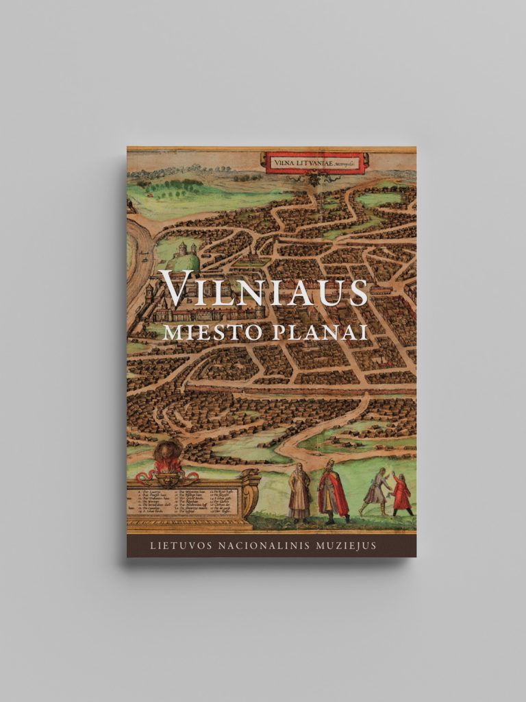
This book presents the plans of Vilnius city as historical cartographic sources. 153 drawings from the collection of the Lithuanian National Museum, as well as other Lithuanian and foreign collections, reveal the city's development and landscape changes from the 16th century to the beginning of the 20th century. The book provides cartometric data and examines archival sources to better understand the purposes and circumstances of the plans' creation.
Plans are an indispensable source for understanding the history of a city. They contain valuable information in many respects: city plans help to better understand the natural topographic features, issues of urban development and landscape changes, and the specific socio-topography of individual parts of the city. As documents related to Vilnius plans show, cartography and topographic research have been and still are political administrative tools. City plans are not only informative sources for historians but also artistic creations and objects of cultural history.

